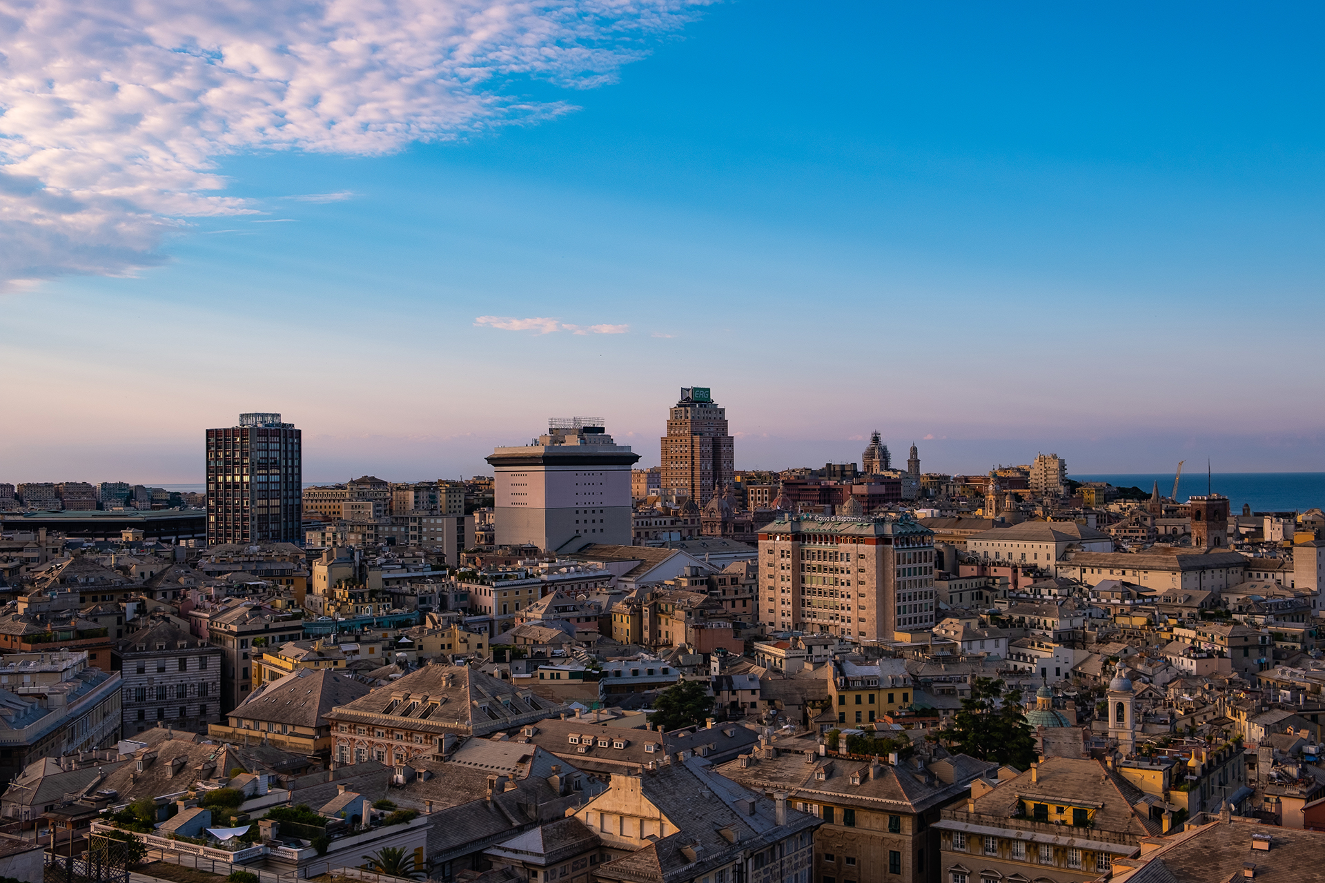
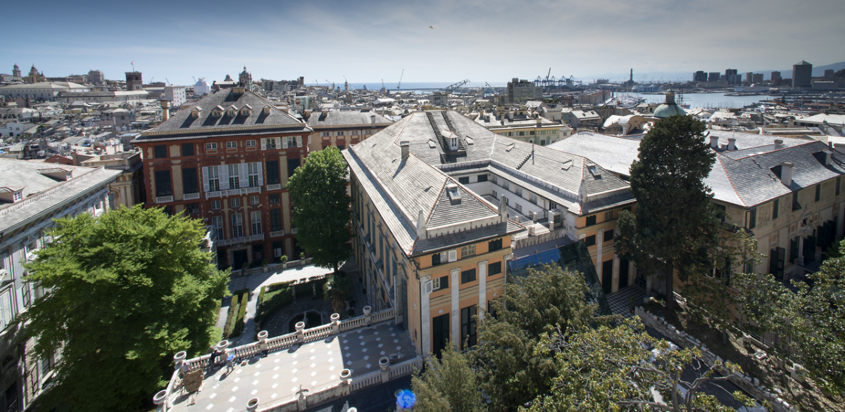
Immagine

Organize your visit to the city with the virtual tour, discover the shops and historic workshops with their typical products in the 3D market, accumulate 'Genovini points'.
Follow us


Four “colored” pedestrian tourist routes through the streets and the palazzi of Genoa, organized and marked on signs, directional panels with QR codes, and pavements, to allow citizens and tourists to learn more and better about the beauty of the historic center.
The project, developed by the Municipality of Genoa and the Superintendency in collaboration with the Municipality I Centro Est, consists of four pedestrian itineraries marked by different colors, designed to help tourists and residents (re)discover the Superba and its historic center in a clear and pleasant way, in total safety, and without ever losing orientation.
The new wayfinding plan includes the systematization of some tourist marketing initiatives already implemented by the Municipality in the past.
By scanning the QR codes and following the dedicated signage and panels, tourists and citizens can optimize their time in the city by choosing their preferred itinerary. For this purpose, at the points along the four pedestrian tourist routes, panels with QR codes already present have been enhanced and new signs have been installed to indicate the direction to follow to continue the various tours.
In the historic center, pictograms have been drawn on the ground, and arrows and panels with horizontal and vertical signage have been installed: the shape, size, and placement of arrows and panels were decided in collaboration with the Superintendency, with which a long and fruitful effort was made to make their visual impact as coherent as possible with the urban context.
Maps in PDF format of the four routes are available online for citizens and tourists to download at the bottom of this page.
Additionally, at the link http://www.visitgenoa.it/metrominuto-la-nuova-mappa-dei-tour-di-genova, two maps, also in PDF format and of the "Metrominuto" type, can be downloaded: the first, larger one, goes from Boccadasse to the Lighthouse, while the second one is focused on the historic center and includes maps of the four pedestrian tourist routes.
The Metrominuto maps, created in collaboration with the GenovApiedi association, are similar to those made for public transport but are designed for pedestrian routes to increase urban walkability: they indicate the distances and travel times from one point of attraction to another for those walking and also highlight the presence of refreshment points, parks, shopping streets, elevators, funiculars, and public mobility services.
All maps, both of the pedestrian tourist routes and Metrominuto, are also available in paper format at the city's tourist information and reception offices.
The urban tourism pedestrian itineraries are:
The “I Palazzi dei Rolli” tour (marked in red) involves 40 residences of the ancient Genoese aristocratic families. The route runs through the streets of the historic center, from Palazzo Antonio Doria (the Prefecture) to Palazzo Ambrogio Di Negro on Via San Luca.
Within this route, Via Garibaldi, renamed (as it was in the 19th century) “Via Aurea”, plays a special role. Dedicated signage at the beginning and end of the ancient Strada Nuova provides detailed information about the 14 palaces located on the street.
The second tour, marked in green, is titled "Nel cuore della Superba" (In the heart of Superba). The first stop is Piazza De Ferrari at Palazzo Ducale, followed by an exciting walk through the heart of the “caruggi”: Vico di San Matteo, Via della Maddalena, the Loggia di Banchi, and up to Caricamento.
The third route (orange) is called “La città medioevale” (The medieval city). The departure is from the portico behind Palazzo San Giorgio: the itinerary continues towards Campo Pisano, then returns to Caricamento, passing through Piazza Matteotti, Via San Lorenzo, and the Loggia di Banchi.
The fourth tour (blue), called “La via dei cavalieri” (The way of the knights), runs from the Stazione Marittima (Maritime Station) to Palazzo Francesco Grimaldi, in Piazza di Pellicceria. Stops include Villa del Principe, Commenda di Prè, Truogoli di Santa Brigida, and the shopping streets up to Via San Luca.
In the map that "unites" the four tours, there is also the “Percorso Wave” already traced during the lockdown period, which leads from the Stazione Marittima to the Aquarium, passing through Villa del Principe, Commenda di Prè, Mu.MA, and Sommergibile Nazario Sauro.
Allegati: Le mappe dei tour - compresso.pdf

È il pass turistico ufficiale per Genova.
Ti accompagna nella scoperta della città per valorizzare il tuo tempo libero!